DroneDeploy / Geospatial systems / 2018-2022
Designing a scalable surface for geospatial work.
A case study about turning captured spatial data into workflows people can act on: project navigation, 360 walkthroughs, vertical inspection, mobile fieldwork, and reporting.
01 / Scalable surface
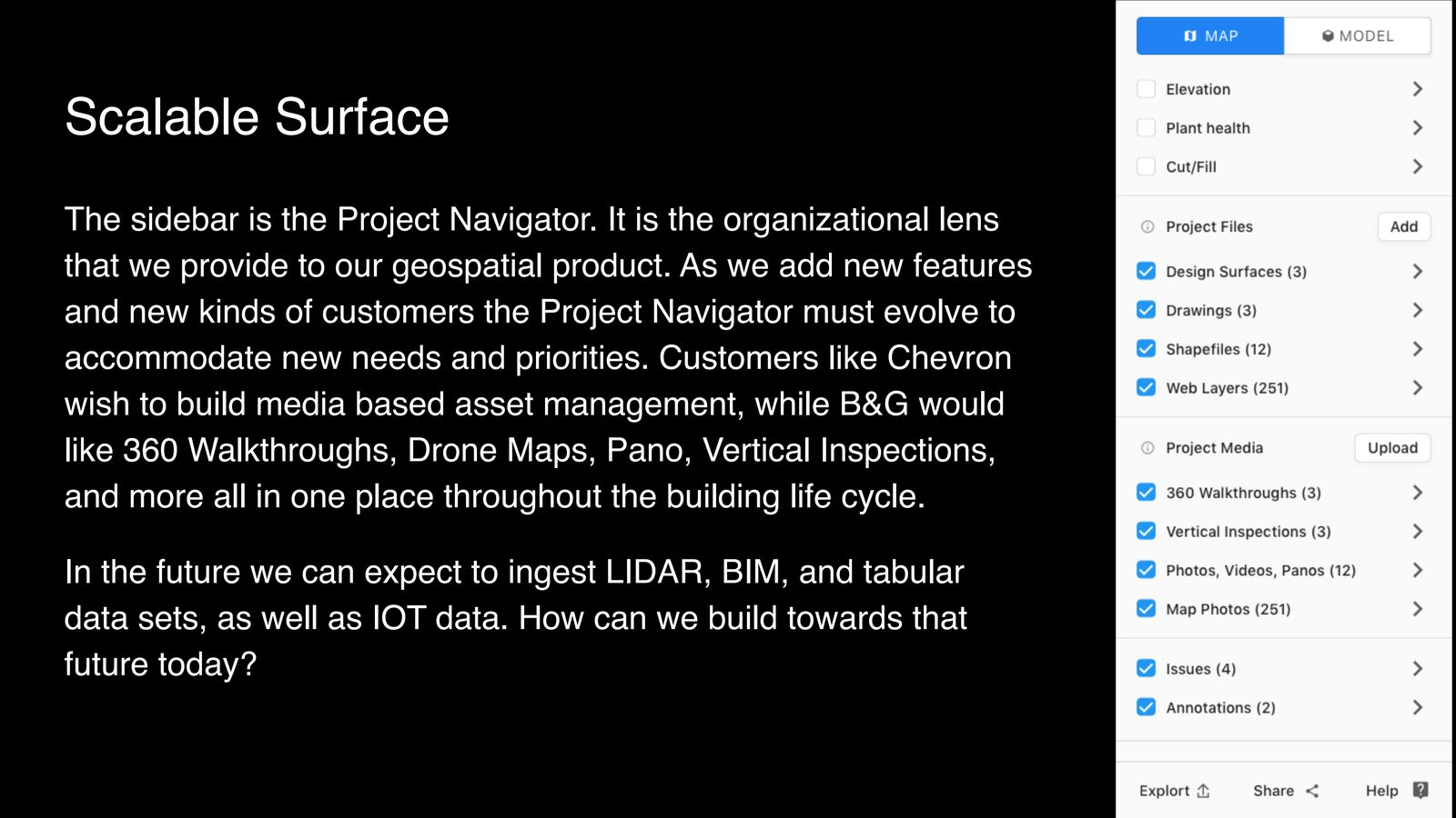
A map-first product outgrew its navigation.
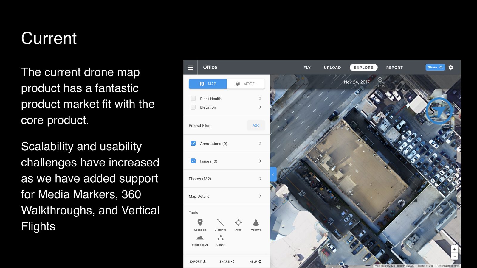
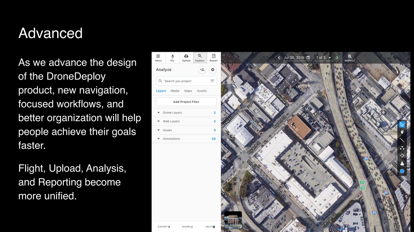
The sidebar had become more than navigation. It was the product's information architecture: the place where drone maps, media markers, walkthroughs, pano, vertical inspections, and future data types had to coexist without forcing customers to understand the company's internal product boundaries.
02 / 360 Walkthroughs
Bring terrestrial video into a spatial product.
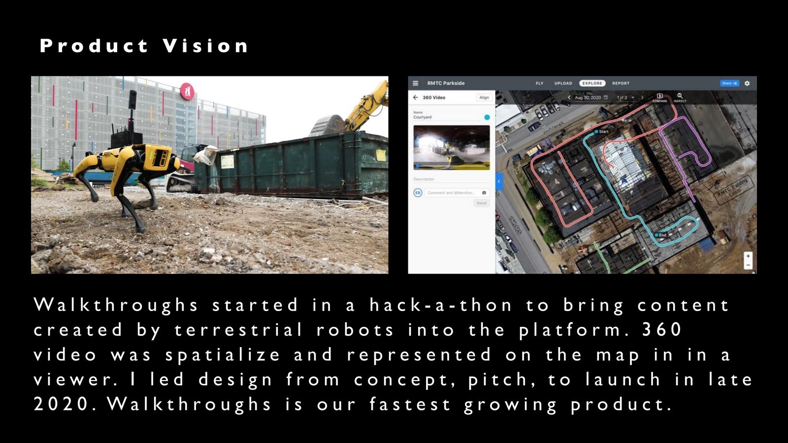
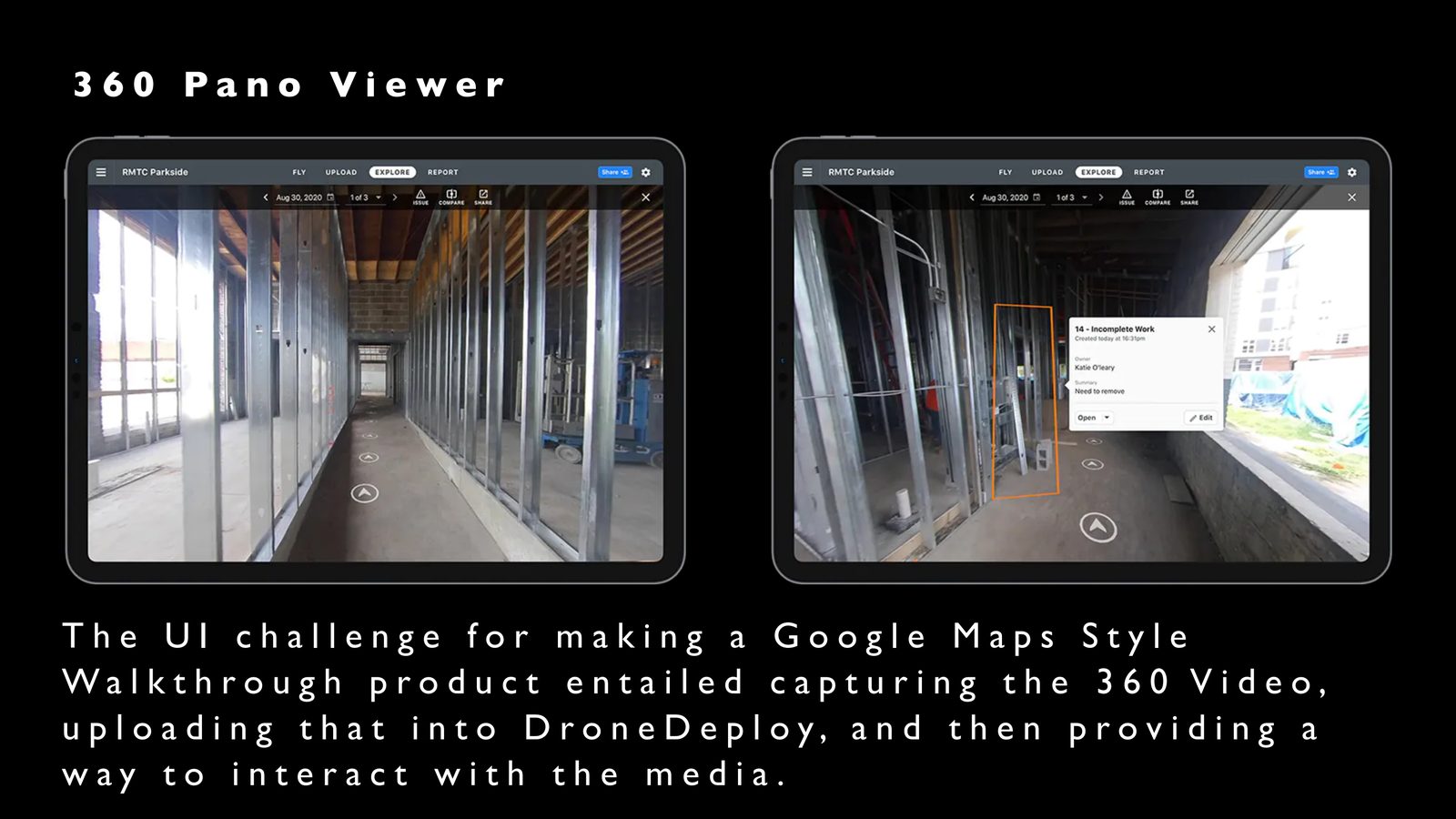
Walkthroughs extended DroneDeploy beyond aerial capture. The design problem was not just a viewer; it was a workflow for placing video in context, aligning a captured path to a map, and letting people move through a site with enough orientation to understand what they were seeing.
03 / Inspection
Turn 3D capture into remote collaboration.
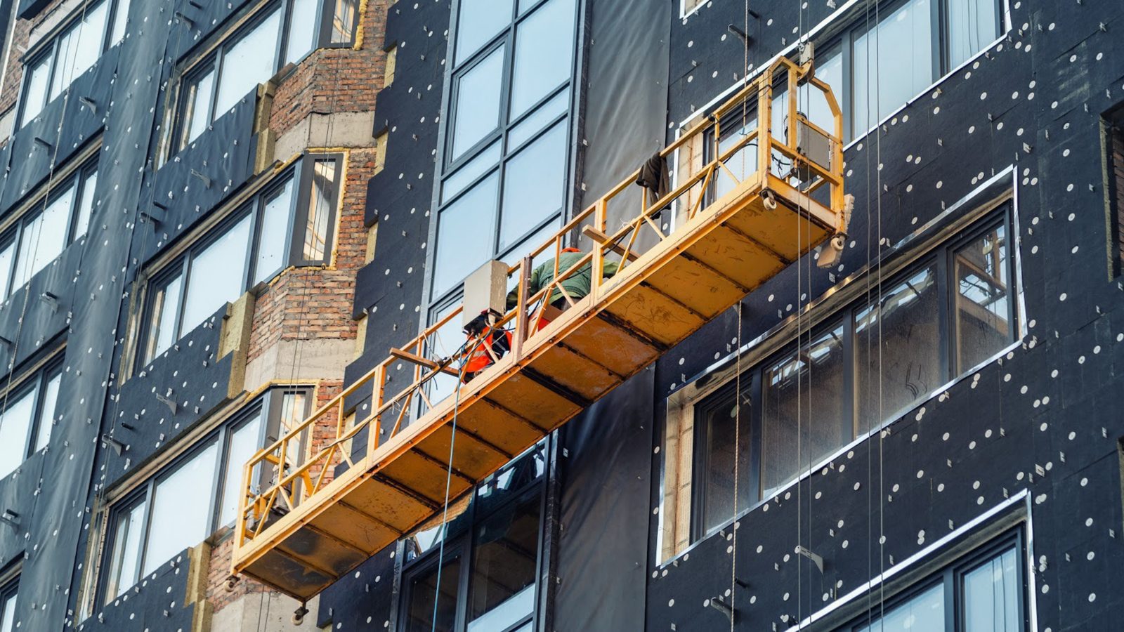
Vertical inspection addressed large structures where completion and quality were difficult or dangerous to verify in person. The interface brought the photo viewer directly into the 3D context, with navigation patterns such as nearby photos and directional controls to support remote inspection.
04 / Reporting
Make captured information communicable.
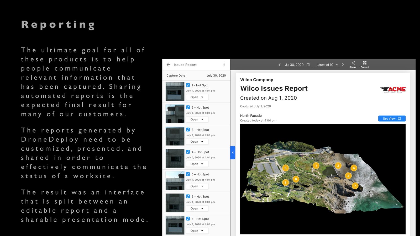
The final product value was not the capture itself. Customers needed to communicate site status, customize reports, and share a presentation mode with stakeholders. Reporting became the bridge between inspection work and decisions.
Source claim: Walkthroughs launched in late 2020 and was described in the portfolio source as the fastest growing product.
Portfolio read
This case study should position the work as platform design: organizing many kinds of spatial evidence so customers can inspect, communicate, and act. The strongest next refinement will be replacing full-slide screenshots with tighter product crops where the source allows it.